Den of Nargun
Mitchell River National Park - Brayakooloong Country
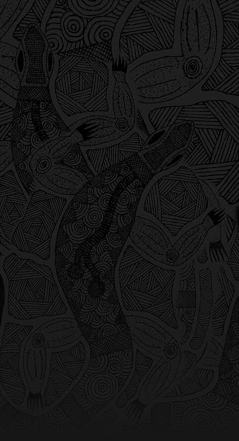
The Nargun is a large female creature who lives in a cave behind a waterfall in the Mitchell River.
 The Den of Nargun is a place of great cultural significance to the Gunaikurnai people, especially the women.
Traditionally Gunaikurnai men were not allowed down to the Den of Nargun or the Woolshed Creek valley. Gunaikurnai men respected this traditional law and still do today. Please treat this place with respect.
Stories were told around campfires about how the Nargun would abduct children who wandered off on their own. The Nargun could not be harmed with boomerang or spears. These stories served the dual purpose of keeping children close to the campsite and ensuring that people stayed away from the sacred cave.
The Den of Nargun is a special place for women and may have been used for women's initiation and learning ceremonies.
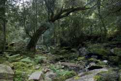
The walk into the Den takes approximately 15 minutes each way, or 45 minutes as a circuit walk via the Mitchell River. Note that there are some steep sections along the walk.
The Mitchell River National Park
The Mitchell River National Park holds a rich cultural history which tells stories of conflict between tribes, ceremonies, food gathering, community life and spirits that inhabit the area.
The Mitchell River National Park has the southernmost occurence of dry rain forest with its dominant species of Kurrajong found on the rocky slopes of the Mitchell River Gorge. The park has special conservation values with several significant communities and a number of rare and threatened species of State and National significance. Twenty regionally significant species are found.
Alfred Howitt was the first European explorer to survey the river accompanied by two Aboriginal guides, Bungil Bottle and Master Turnmite. Howitt travelled down the Mitchell River in a bark canoe. When they reached the rapids they were forced to abandon the canoes and travel up Woolshed Creek where they discovered the Den of Nargun.
The Mitchell River is part of a 260km system, making it Victoria's largest remaining wild and free flowing river. It flows from the Great Dividing Range where the Wonnangatta and Dargo Rivers meet, to its mouth feeding the heart of the Gippsland Lakes near Paynesville. The Mitchell River is heritage listed.
The Mitchell River is the dividing boundary between the Brabawooloong clan to the east and the Brayakooloong clan to the west.
Brayakooloong people around the current site of Sale, Providence Ponds, Avon and Latrobe Rivers, west of Lake Wellington to Mounts Baw Baw and Howitt.
Maps


Contact
Krowathunkooloong Keeping PlaceGippsland and East Gippsland Aboriginal Co-operative 37 - 53 Dalmahoy Street
Bairnsdale
Tel: (03) 5152 1891
Visitor Information Centres Orbost (03) 5154 2424
Lakes Entrance (03) 5155 1966
Bairnsdale (03) 5152 3444
Maffra (03) 5141 1811
Sale 1800 677 520
Sites
- white woman's waterhole
won wron state reserve - the lagoon
sale common state game reserve - the knob reserve
stratford - ramahyuck cemetery
perry bridge - den of nargun
mitchell river national park - krowathunkooloong keeping place
bairnsdale - howitt park
bairnsdale - legend rock
metung - buchan caves
buchan - burnt bridge reserve
lake tyers forest park - salmon rock and gunai boardwalk
cape conran

Please treat all sites along the trail with respect and care to ensure they are preserved for future generations.
Development of the Bataluk Cultural trail is a joint initiative of the Far East Gippsland Aboriginal Corporation, Gippsland and East Gippsland Aboriginal Co-operative, Lake Tyers Aboriginal Trust, Moogji Aboriginal Council, Ramahyuck Aboriginal Corporation, East Gippsland Shire Council and Wellington Shire Council.